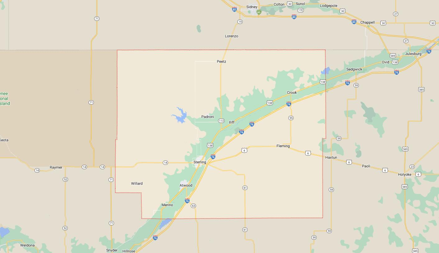
Cities and Towns in Logan County, Colorado
Founded on 1887-02-25, Logan County is one of 64 counties in the state of Colorado. Historically, Logan County was split from Weld County. The city of Sterling is the county seat. With FIPS code of 75, Logan County has a population of 21,487 and area of 1,845.31 square miles (4,779 km²).
List of all cities in Logan County, CO alphabetically
| City/Town | Postal Code | Area Code |
| Atwood, CO | 80722 | 970 |
| Crook, CO | 80726 | 970 |
| Fleming, CO | 80728 | 970 |
| Iliff, CO | 80736 | 970 |
| Merino, CO | 80741 | 970 |
| Padroni, CO | 80745 | 970 |
| Peetz, CO | 80747 | 970 |
| Sterling, CO | 80751 | 970 |
| Willard, CO | 80741 | 970 |
Major Cities and Towns in Logan County, Colorado
Sterling
Area, Population, and Geography
- Area: 7.6 square miles
- Population: Approximately 14,000 (2023 estimate)
- Zip Codes: 80751
- Latitude: 40.6255° N
- Longitude: 103.2077° W
City Location and History
Sterling is the county seat and largest city in Logan County, located in northeastern Colorado along the South Platte River. The city was founded in 1881 and became a key hub for agriculture and transportation due to its strategic location on the Union Pacific Railroad. Sterling grew rapidly as an agricultural center, known for its wheat, corn, and sugar beet production. The city also became a significant livestock and dairy center, with large feedlots and processing facilities. Sterling’s growth was further bolstered by its role as a regional trade center, serving the surrounding farming communities. Over the years, Sterling has developed into a vibrant community with a mix of historical charm and modern amenities, offering residents a high quality of life.
Major Schools and Landmarks
Sterling is served by the RE-1 Valley School District, with Sterling High School being the primary secondary school. The city is also home to Northeastern Junior College, which offers a range of academic and vocational programs. Major landmarks in Sterling include the Overland Trail Museum, which showcases the history of the pioneers who traveled the Overland Trail during the westward expansion. The historic downtown area features a mix of early 20th-century architecture, shops, and restaurants, reflecting the city’s rich history. The Sterling Recreation Center and Pioneer Park provide recreational facilities, including swimming pools, sports fields, and playgrounds. The annual Logan County Fair and Rodeo is a major event in Sterling, celebrating the region’s agricultural heritage with livestock shows, rodeo events, and a carnival. Sterling’s combination of educational resources, cultural attractions, and community events makes it the heart of Logan County.
Fleming
Area, Population, and Geography
- Area: 0.3 square miles
- Population: Approximately 400 (2023 estimate)
- Zip Codes: 80728
- Latitude: 40.6808° N
- Longitude: 102.8402° W
City Location and History
Fleming is a small town located in the eastern part of Logan County, approximately 20 miles east of Sterling. The town was founded in 1888 and named after William Fleming, an early settler and prominent farmer in the area. Fleming developed as an agricultural community, with its economy centered around farming and ranching. The town’s location along the railroad made it a key shipping point for local agricultural products, particularly wheat and corn. Over the years, Fleming has maintained its rural character and close-knit community, offering a peaceful and friendly environment for its residents.
Major Schools and Landmarks
Fleming is served by the Fleming School District RE-3, with Fleming High School being the main educational institution. The town’s major landmarks include the Fleming Town Park, which serves as a central gathering place for community events and outdoor activities. The nearby North Sterling State Park offers opportunities for fishing, boating, and camping, making it a popular destination for outdoor enthusiasts. Fleming’s annual Harvest Festival celebrates the town’s agricultural heritage with parades, games, and local food, bringing the community together for a day of fun and festivities. Fleming’s combination of rural charm, educational resources, and strong community spirit makes it a significant town in Logan County.
Merino
Area, Population, and Geography
- Area: 0.2 square miles
- Population: Approximately 280 (2023 estimate)
- Zip Codes: 80741
- Latitude: 40.4875° N
- Longitude: 103.3539° W
City Location and History
Merino is a small town located in the southern part of Logan County, about 15 miles southwest of Sterling. The town was established in 1908 and was named after the Merino breed of sheep, reflecting the town’s early focus on sheep ranching. Over time, Merino developed into an agricultural community, with its economy centered on farming, particularly the production of wheat and corn. The town has remained small, with a close-knit community that values its rural roots and agricultural heritage.
Major Schools and Landmarks
Merino is served by the RE-4J School District, with Merino Junior-Senior High School providing education for local students. The town’s major landmarks include the Merino Community Park, which offers recreational facilities and serves as a venue for local events and gatherings. The surrounding farmland is a defining feature of the town, reflecting its agricultural roots and providing a scenic backdrop for the community. Merino’s annual events, such as the Fourth of July celebration, highlight the town’s strong sense of community and pride in its heritage. Merino’s combination of rural charm, educational resources, and agricultural significance makes it an important part of Logan County.
Peetz
Area, Population, and Geography
- Area: 0.2 square miles
- Population: Approximately 240 (2023 estimate)
- Zip Codes: 80747
- Latitude: 40.9617° N
- Longitude: 103.1128° W
City Location and History
Peetz is a small town located in the northern part of Logan County, near the Colorado-Nebraska border. The town was founded in 1917 and was named after Peter Peetz, an early settler and local landowner. Peetz developed as an agricultural community, with wheat and corn farming being the primary economic activities. The town’s location on the high plains of northeastern Colorado provides a peaceful, rural setting, with a strong sense of community among its residents.
Major Schools and Landmarks
Peetz is served by the Peetz Plateau School District RE-5, with Peetz Junior-Senior High School being the main educational institution. The town’s major landmarks include the Peetz Community Center, which hosts local events, meetings, and social gatherings. The surrounding open plains and farmland offer opportunities for outdoor activities such as hunting, birdwatching, and hiking. Peetz’s annual Buffalo BBQ and Rodeo is a highlight of the town’s calendar, celebrating its Western heritage with rodeo events, games, and a community barbecue. Peetz’s combination of rural tranquility, educational resources, and strong community spirit makes it a valued part of Logan County.
Iliff
Area, Population, and Geography
- Area: 0.3 square miles
- Population: Approximately 250 (2023 estimate)
- Zip Codes: 80736
- Latitude: 40.7606° N
- Longitude: 103.0422° W
City Location and History
Iliff is a small town located in the northeastern part of Logan County, along the South Platte River, about 15 miles east of Sterling. The town was established in 1876 and was named after John Wesley Iliff, a prominent cattle rancher and businessman in the region. Iliff developed as an agricultural and ranching community, with its location along the South Platte River providing a reliable water source for irrigation and livestock. The town’s economy has traditionally been based on farming and ranching, with a strong emphasis on community and rural living.
Major Schools and Landmarks
Iliff is part of the RE-1 Valley School District, with students typically attending schools in nearby Sterling. The town’s major landmarks include the Iliff Town Park, which serves as a recreational area for residents and hosts local events. The nearby South Platte River offers opportunities for fishing, kayaking, and wildlife observation, making it a popular spot for outdoor enthusiasts. The surrounding farmland and open spaces reflect Iliff’s agricultural heritage, providing a peaceful and scenic environment for the community. Iliff’s combination of rural charm, historical significance, and access to outdoor activities makes it a unique and important part of Logan County.
Map of Cities in Logan County, CO