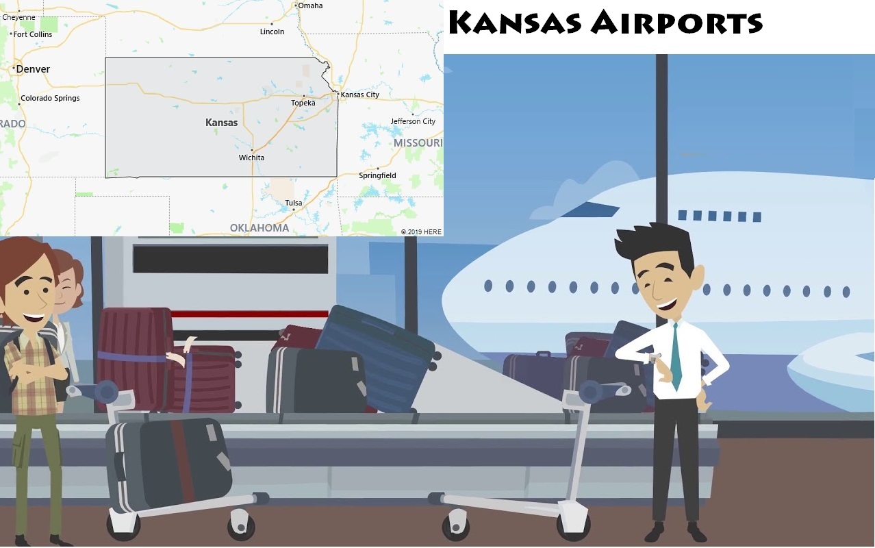
List of Airports in Kansas
As of 2024, there are 37 airports throughout the state of Kansas according to IATA and ICAO. Through the table below, you can find name of each airport, its abbreviation, city location, and size. Airports in Kansas are listed in alphabetical order. Please note that some airports serve internationally, while the other only serve domestically.
List of All Airports in Kansas
| # | Airport | Abbreviation | Location | Size |
| 1 | Ada Airport | ADT | Ada, KS | Small |
| 2 | Anthony Airport | ANY | Anthony, KS | Small |
| 3 | Arkansas City Airport | WLD | Winfield, KS | Small |
| 4 | Beech Airport | BEC | Wichita, KS | Small |
| 5 | Blosser Municipal Airport | CNK | Concordia, KS | Small |
| 6 | Cessna Aircraft Field | CEA | Wichita, KS | Small |
| 7 | City-County Airport | EWK | Newton, KS | Medium |
| 8 | Dodge City Municipal Airport | DDC | Dodge City, KS | Medium |
| 9 | El Dorado Airport | EDK | El Dorado, KS | Small |
| 10 | Emporia Airport | EMP | Emporia, KS | Small |
| 11 | Fairfax Municipal Airport | KCK | Kansas City, KS | Small |
| 12 | Great Bend Airport | GBD | Great Bend, KS | Medium |
| 13 | Hill City Airport | HLC | Hill City, KS | Small |
| 14 | Hutchinson Airport | HUT | Hutchinson, KS | Medium |
| 15 | Independence Airport | IDP | Independence, KS | Small |
| 16 | Johnson Executive Airport | OJC | Kansas City, KS | Medium |
| 17 | Johnson Industrial Airport | JCI | Kansas City, KS | Medium |
| 18 | Lawrence Airport | LWC | Lawrence, KS | Small |
| 19 | Martin Johnson Airport | CNU | Chanute, KS | Small |
| 20 | McPherson Airport | MPR | McPherson, KS | Medium |
| 21 | Meadville Airport | MEJ | Meadville, KS | Small |
| 22 | Municipal Airport | CFV | Coffeyville, KS | Small |
| 23 | Municipal Airport | CBK | Colby, KS | Small |
| 24 | Municipal Airport | FSK | Fort Scott, KS | Small |
| 25 | Municipal Airport | GCK | Garden City, KS | Medium |
| 26 | Municipal Airport | HYS | Hays, KS | Medium |
| 27 | Municipal Airport | LBL | Liberal, KS | Medium |
| 28 | Municipal Airport | MHK | Manhattan, KS | Medium |
| 29 | Municipal Airport | PTS | Pittsburg, KS | Small |
| 30 | Philip Billard Airport | TOP | Topeka, KS | Medium |
| 31 | Pratt Airport | PTT | Pratt, KS | Small |
| 32 | Renner Field | GLD | Goodland, KS | Medium |
| 33 | Rice County Municipal Airport | LYO | Lyons, KS | Small |
| 34 | Russell Airport | RSL | Russell, KS | Small |
| 35 | Salina Airport | SLN | Salina, KS | Medium |
| 36 | Tri-City Airport | PPF | Parsons, KS | Small |
| 37 | Wichita Mid-Continent Airport | ICT | Wichita, KS | Large |
Major Airports in Kansas
Wichita Dwight D. Eisenhower National Airport (ICT)
Airport Code:
ICT
Time Zone:
Central Standard Time (CST)
Address:
2277 Eisenhower Airport Pkwy, Wichita, KS 67209
Nearby Cities:
- Wichita (7 miles)
- Andover (10 miles)
- Derby (15 miles)
- Haysville (13 miles)
- Newton (20 miles)
Major Airlines Served:
- American Airlines
- Southwest Airlines
- Delta Air Lines
- United Airlines
Annual Passenger Traffic:
Approximately 3 million passengers annually
Airport Location and History:
Wichita Dwight D. Eisenhower National Airport (ICT) is the largest airport in Kansas and serves as the primary airport for the Wichita metropolitan area. Located about 7 miles west of downtown Wichita, the airport opened in 1954 and was named in honor of President Dwight D. Eisenhower, who was born in the region. The airport has been an integral part of the community, supporting both commercial flights and the aviation industry, which is a key part of Wichita’s economy.
Wichita has long been known as the “Air Capital of the World,” due to its history as a center for aircraft manufacturing, with major companies like Boeing and Cessna headquartered there. ICT serves as a vital point of entry for both business and leisure travelers to Wichita, a city known for its cultural institutions, historical sites, and industries such as aviation, agriculture, and energy.
Over the years, the airport has seen several expansions and upgrades to meet the growing demand for air travel. These include terminal expansions, new parking facilities, and improvements to security and amenities. The airport continues to be a key part of Wichita’s economy, connecting the city to major hubs across the United States.
Facilities and Infrastructure:
Wichita Dwight D. Eisenhower National Airport has two runways: Runway 1L/19R (10,000 feet) and Runway 1R/19L (8,000 feet). The longer runway (Runway 1L/19R) is capable of handling narrow-body jets such as the Boeing 737 and Airbus A320, but it is not typically used for large wide-body aircraft. However, the runway is suitable for a variety of domestic and regional flights.
The airport features a single terminal with multiple concourses that offer services such as dining, shopping, and lounges. ICT also provides short-term and long-term parking options, as well as rental car services. The airport is well connected to the city via shuttles, taxis, and private transportation, offering easy access to Wichita’s downtown and surrounding areas.
Kansas City International Airport (MCI)
Airport Code:
MCI
Time Zone:
Central Standard Time (CST)
Address:
1 International Square, Kansas City, MO 64153
Nearby Cities:
- Kansas City, MO (15 miles)
- Overland Park, KS (20 miles)
- Lee’s Summit, MO (25 miles)
- Independence, MO (20 miles)
- Blue Springs, MO (30 miles)
Major Airlines Served:
- Southwest Airlines
- Delta Air Lines
- United Airlines
- American Airlines
Annual Passenger Traffic:
Approximately 11 million passengers annually
Airport Location and History:
Kansas City International Airport (MCI) is located about 15 miles north of downtown Kansas City, Missouri, and serves as the primary airport for the Kansas City metropolitan area, including the surrounding region in both Missouri and Kansas. The airport opened in 1972 and has undergone multiple expansions over the years to meet the growing demand for air travel.
MCI has long been a hub for low-cost carriers, particularly Southwest Airlines, which offers numerous flights to cities across the United States. The airport is also a key point of entry for both business and leisure travelers to Kansas City, a city known for its rich history, vibrant arts scene, jazz music heritage, and barbecue cuisine.
Kansas City International Airport has continued to evolve, with recent developments including a new terminal project to replace its outdated terminal layout. The new terminal, which opened in 2023, provides modernized amenities and additional space to enhance the passenger experience.
Facilities and Infrastructure:
Kansas City International Airport has three runways: Runway 1/19 (9,500 feet), Runway 9/27 (10,000 feet), and Runway 8/26 (9,500 feet). The longest runway (Runway 9/27) is capable of handling large wide-body aircraft such as the Boeing 747 and Airbus A380, supporting international long-haul flights and large domestic operations.
The new terminal at MCI includes state-of-the-art facilities such as lounges, shopping, dining, and business services. The airport provides multiple parking options, including short-term, long-term, and economy parking, as well as rental car services. MCI is connected to the city and surrounding areas via taxis, shuttles, and private transportation, offering easy access to Kansas City’s downtown, the Power and Light District, and the city’s major attractions.
Topeka Regional Airport (FOE)
Airport Code:
FOE
Time Zone:
Central Standard Time (CST)
Address:
1 Airport Rd, Topeka, KS 66619
Nearby Cities:
- Topeka (8 miles)
- Lawrence, KS (25 miles)
- Manhattan, KS (60 miles)
- Kansas City, MO (60 miles)
- Wichita, KS (120 miles)
Major Airlines Served:
- General aviation (no major commercial airlines)
Annual Passenger Traffic:
Approximately 10,000 passengers annually (general aviation)
Airport Location and History:
Topeka Regional Airport (FOE) is located in Topeka, Kansas, serving the city and the surrounding region. The airport opened in the 1930s and has since been primarily used for general aviation, offering flight services to private pilots, charter flights, and flight training. Although it does not offer regular commercial flights, FOE plays an important role in regional travel and business, connecting Topeka to other major Kansas cities and the broader U.S.
The airport is particularly important for local businesses, government agencies, and medical transportation, offering a convenient alternative to larger regional airports. In addition to general aviation services, Topeka Regional is home to several hangars, flight schools, and other aviation-related businesses.
FOE is located just 8 miles from downtown Topeka and is easily accessible by car, making it a critical asset for the region’s infrastructure. The airport continues to invest in infrastructure improvements, ensuring that it remains a viable option for both business and private aviation.
Facilities and Infrastructure:
Topeka Regional Airport has one main runway: Runway 17/35, which is 6,500 feet long. This runway is capable of handling small to medium-sized aircraft, including narrow-body jets like the Boeing 737 and regional aircraft, though it is not designed for wide-body jets.
The airport features basic facilities for general aviation, including flight school services, private hangars, and a small terminal for arriving passengers. There is parking available for general aviation aircraft, as well as rental car services. While it does not handle commercial airline traffic, Topeka Regional Airport serves as a critical point of access for private and business aviation in northeastern Kansas.
Manhattan Regional Airport (MHK)
Airport Code:
MHK
Time Zone:
Central Standard Time (CST)
Address:
5500 Skyway Dr, Manhattan, KS 66503
Nearby Cities:
- Manhattan (7 miles)
- Junction City, KS (15 miles)
- Topeka, KS (60 miles)
- Kansas City, MO (115 miles)
- Wichita, KS (150 miles)
Major Airlines Served:
- American Airlines (via SkyWest Airlines)
Annual Passenger Traffic:
Approximately 100,000 passengers annually
Airport Location and History:
Manhattan Regional Airport (MHK) serves the city of Manhattan, Kansas, and the surrounding Flint Hills region. Opened in the 1960s, the airport provides vital air service for the local community and the Kansas State University population, making it an important asset for students, faculty, and the business community.
MHK offers direct flights to major hubs like Dallas/Fort Worth through American Airlines, allowing regional residents access to the broader airline network. The airport also serves as a base for general aviation, with facilities for flight schools and private aircraft. Over the years, the airport has undergone numerous improvements, including runway extensions and terminal upgrades, to meet the growing demand for air travel in the region.
Manhattan Regional Airport continues to serve as an essential point of entry for both business and leisure travelers, supporting the economy of the region and providing convenience for residents who may otherwise have to drive long distances to larger airports.
Facilities and Infrastructure:
Manhattan Regional Airport has one main runway: Runway 3/21, which is 7,400 feet long. This runway is capable of handling regional jets such as the Embraer E175 and Bombardier CRJ, as well as narrow-body aircraft like the Boeing 737 and Airbus A320. While the airport is not designed for large wide-body aircraft, the runway is sufficient for regional and domestic flights.
The terminal at MHK includes check-in counters, baggage claim, and basic amenities for passengers, such as food and waiting areas. The airport provides short-term and long-term parking options, along with rental car services. Manhattan Regional is well connected to the surrounding area via taxis, shuttles, and private transportation, ensuring convenient access to the city and the surrounding Flint Hills region.
Hutchinson Municipal Airport (HUT)
Airport Code:
HUT
Time Zone:
Central Standard Time (CST)
Address:
1800 N Severin St, Hutchinson, KS 67501
Nearby Cities:
- Hutchinson (5 miles)
- Salina, KS (45 miles)
- Wichita, KS (55 miles)
- McPherson, KS (25 miles)
- Newton, KS (30 miles)
Major Airlines Served:
- General aviation (no major commercial airlines)
Annual Passenger Traffic:
Approximately 5,000 passengers annually (general aviation)
Airport Location and History:
Hutchinson Municipal Airport (HUT) is located in Hutchinson, Kansas, a city known for its historical salt industry and cultural sites. The airport opened in the early 20th century and is primarily a general aviation facility. HUT plays a vital role in supporting local businesses, agriculture, and the tourism industry.
Though it does not offer regular commercial flights, the airport is used for private flights, business aviation, and air charter services. It is also home to the Kansas Aviation Museum and hosts various aviation events throughout the year, attracting aviation enthusiasts to the region.
HUT remains an important part of Hutchinson’s infrastructure, providing access to the local community and supporting the region’s economic activities. The airport continues to invest in improvements, including runway upgrades and better facilities for general aviation.
Facilities and Infrastructure:
Hutchinson Municipal Airport has one main runway: Runway 17/35, which is 5,000 feet long. This runway is suitable for small and medium-sized aircraft, including general aviation planes, regional jets, and narrow-body aircraft, but it is not equipped to handle large wide-body aircraft.
The terminal at HUT is primarily focused on general aviation services, including check-in for private flights and flight training. The airport provides parking for private planes, as well as rental car services. Despite its smaller size, HUT is a key asset for Hutchinson and the surrounding region, offering essential aviation services to local businesses and residents.
Kansas Overview
The state of Kansas has 2.9 million residents (2016). The capital is Topeka and the largest city is Wichita.
In the 16th century, Spaniards were the first Europeans to explore Kansas territory. The French arrived in the 17th century. The region came under the control of the United States in 1803 as part of the Louisiana.


