Cities and Towns in Washington County, Georgia
Founded in 1784, Washington County is one of 159 counties in the state of Georgia. Historically, Washington County was formed from Creek Cession of 1783. The city of Sandersville is the county seat. With FIPS code of 303, Washington County has a population of 19,785 and area of 680 square miles (1,761 km²).
List of all cities in Washington County, GA alphabetically
| City/Town | Postal Code | Area Code |
| Davisboro, GA | 31018 | 478 |
| Deepstep, GA | 31082 | 478 |
| Harrison, GA | 31035 | 478 |
| Oconee, GA | 31067 | 478 |
| Sandersville, GA | 31082 | 478 |
| Tennille, GA | 31089 | 478 |
| Warthen, GA | 31094 | 478 |
Major Cities and Towns in Washington County, Georgia
Sandersville
Area, Population, Zip Codes, Latitude and Longitude
- Area: 10.3 square miles
- Population: Approximately 5,800 (as of the 2020 census)
- Zip Codes: 31082
- Latitude and Longitude: 32.9821° N, 82.8118° W
Location and History
Sandersville is the county seat and largest city in Washington County, Georgia, located in the central part of the state. Established in 1796, Sandersville was named after M. Saunders, a local store owner and innkeeper who played a key role in the town’s early development. The city grew as a center for agriculture, particularly cotton, and later became known for its kaolin mining, which remains a significant industry in the area. During the Civil War, Sandersville was briefly occupied by Union troops under General Sherman during his infamous “March to the Sea.” Today, Sandersville is a hub for commerce and industry in Washington County, blending its historical heritage with modern amenities.
Major Schools and Landmarks
Sandersville is served by the Washington County School District, including Washington County High School, T.J. Elder Middle School, and Ridge Road Primary School. The city is home to several notable landmarks, including the Washington County Courthouse, an architectural gem built in 1869 and listed on the National Register of Historic Places. The Brown House Museum, a historic home dating back to the 1850s, offers insights into the local history and the Civil War era. Additionally, Sandersville is known for its vibrant downtown area, which features a variety of shops, restaurants, and cultural venues. The city’s rich history, educational resources, and cultural attractions make it the heart of Washington County.
Tennille
Area, Population, Zip Codes, Latitude and Longitude
- Area: 3.6 square miles
- Population: Approximately 1,500 (as of the 2020 census)
- Zip Codes: 31089
- Latitude and Longitude: 32.9352° N, 82.8126° W
Location and History
Tennille is a small city located just south of Sandersville in Washington County, Georgia. The city was incorporated in 1875 and named after Samuel O. Tennille, a prominent local businessman and railroad official who played a significant role in bringing the railroad to the area. The arrival of the railroad spurred Tennille’s growth, making it an important transportation hub for the region. The city developed as an agricultural center, with cotton being the dominant crop, and the railroad provided easy access to larger markets. Tennille has retained much of its historical charm, with many buildings in the downtown area dating back to the late 19th and early 20th centuries.
Major Schools and Landmarks
Tennille is served by the Washington County School District, with students attending schools in nearby Sandersville. The city’s landmarks include the historic Tennille Railroad Depot, which played a key role in the town’s development and is now a symbol of its rich history. The Tennille Women’s Club, founded in the early 20th century, is another notable institution that reflects the town’s community spirit and historical significance. The city also hosts the annual Tennille Fall Festival, which celebrates the town’s heritage with food, music, and crafts. Tennille’s blend of historical significance, community spirit, and proximity to natural beauty makes it an important part of Washington County.
Davisboro
Area, Population, Zip Codes, Latitude and Longitude
- Area: 3.1 square miles
- Population: Approximately 1,700 (as of the 2020 census)
- Zip Codes: 31018
- Latitude and Longitude: 32.9809° N, 82.6055° W
Location and History
Davisboro is a small town located in the eastern part of Washington County, Georgia. The town was incorporated in 1894 and named after the Davis family, who were early settlers in the area and significant contributors to its development. Davisboro developed as an agricultural community, with its economy centered around cotton, corn, and other crops. The town’s location along the Central of Georgia Railway helped it grow as a local trading center, providing farmers with a means to transport their goods to larger markets. Davisboro has maintained its rural character and continues to be a tight-knit community where agriculture remains an important part of daily life.
Major Schools and Landmarks
Davisboro is served by the Washington County School District, with students attending schools in Sandersville, such as Washington County High School. The town’s notable landmarks include the historic Davisboro Methodist Church, which has been a central part of the community for over a century. The surrounding farmlands and the nearby Ogeechee River provide opportunities for outdoor activities such as fishing, hunting, and hiking. Davisboro’s annual community events, including church gatherings and local fairs, highlight the town’s strong sense of tradition and community spirit. The town’s rich history, rural charm, and close-knit community make Davisboro a valued part of Washington County.
Deepstep
Area, Population, Zip Codes, Latitude and Longitude
- Area: 0.8 square miles
- Population: Approximately 130 (as of the 2020 census)
- Zip Codes: 31082 (Sandersville)
- Latitude and Longitude: 32.9087° N, 82.9335° W
Location and History
Deepstep is a small, unincorporated community located in Washington County, Georgia, west of Sandersville. The town’s name is believed to have originated from the deep steps required to cross the nearby Deepstep Creek. Deepstep was incorporated in 1903 but remains one of the smallest communities in the county. The town’s history is closely tied to the kaolin industry, as it is located in one of the richest kaolin mining regions in the state. Kaolin, also known as “white gold,” has been a significant economic driver for the area, and Deepstep played a role in its extraction and processing. Despite its small size, Deepstep has a rich history and a strong sense of community.
Major Schools and Landmarks
Deepstep is served by schools in the nearby towns of Sandersville and Tennille, with students attending Washington County High School. The town’s landmarks include the historic Deepstep United Methodist Church, which has been a central gathering place for the community for many years. The surrounding kaolin mines and natural landscapes offer opportunities for exploration and outdoor activities. Deepstep’s rural charm, historical significance, and close-knit community make it a unique and cherished part of Washington County. The town’s annual events and church functions highlight the strong bonds among its residents and their connection to the land.
Riddleville
Area, Population, Zip Codes, Latitude and Longitude
- Area: 1.2 square miles
- Population: Approximately 100 (as of the 2020 census)
- Zip Codes: 31018 (Davisboro)
- Latitude and Longitude: 32.8587° N, 82.6685° W
Location and History
Riddleville is a small town located in the northern part of Washington County, Georgia. The town was incorporated in 1858 and named after the Riddle family, who were among the area’s earliest settlers. Riddleville developed as a small agricultural community, with its economy based on farming and timber production. The town’s location along the Old Savannah Road, a historic route that connected the interior of Georgia to the coast, made it an important stop for travelers and traders in the 19th century. Riddleville has retained its rural character and remains a quiet, close-knit community with a strong connection to its agricultural roots.
Major Schools and Landmarks
Riddleville is served by the Washington County School District, with students attending schools in nearby Davisboro and Sandersville. The town’s landmarks include the historic Riddleville Baptist Church, which has been a focal point of the community for over a century. The surrounding farmland and natural landscapes offer opportunities for outdoor activities such as hunting, fishing, and exploring the area’s historical sites. Riddleville’s annual events, including church picnics and local fairs, reflect the town’s strong sense of tradition and community spirit. The town’s rich history, rural charm, and close-knit community make Riddleville a valued part of Washington County.
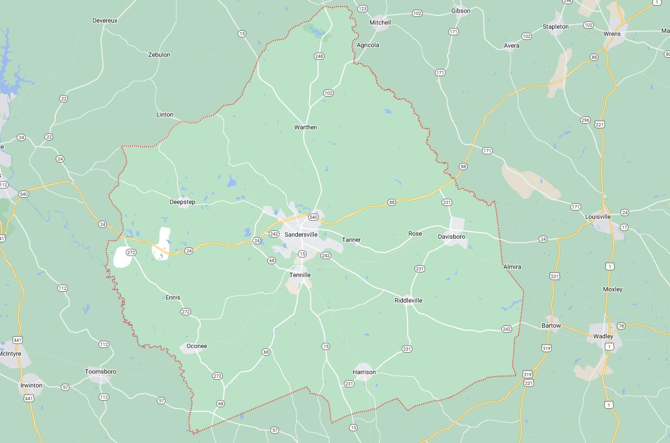
Map of Cities in Washington County, GA