Cities and Towns in Grant County, Arkansas
Founded on February 4, 1869, Grant County is one of 75 counties in the state of Arkansas. Historically, Grant County was formed from Jefferson, Hot Spring, and Saline counties. The city of Sheridan is the county seat. With FIPS code of 53, Grant County has a population of 18,090 and area of 633.01 square miles (1,639 km²).
List of all cities in Grant County, AR alphabetically
| City/Town | Postal Code | Area Code |
| Brush Creek, AR | 72084 | 870 |
| Buie, AR | 72129 | 870 |
| Cane Creek, AR | 72150 | 870 |
| Center Grove, AR | 72150 | 870 |
| Grapevine, AR | 72057 | 870 |
| Leola, AR | 72084 | 870 |
| Lono, AR | 72084 | 870 |
| Poyen, AR | 72128 | 870 |
| Prague, AR | 72150 | 870 |
| Prattsville, AR | 72129 | 870 |
| Sheridan, AR | 72150 | 870 |
| South Sheridan, AR | 72150 | 870 |
| Willow, AR | 72084 | 870 |
Major Cities and Towns in Grant County, Arkansas
Sheridan
Area, Population, and Coordinates
- Area: 12.9 square miles
- Population: 4,603 (as of the last census)
- ZIP Codes: 72150
- Latitude and Longitude:
- Latitude: 34.3075° N
- Longitude: 92.4010° W
Location and History
Sheridan is the county seat and largest city in Grant County, Arkansas, located in the central part of the state. The city was founded in 1869 and named after Union General Philip Sheridan. Sheridan’s early development was closely tied to the timber industry, which played a significant role in the local economy for many years. The construction of the railroad in the late 19th century further spurred the town’s growth, making it an important hub for trade and transportation in the region. Over the years, Sheridan has transitioned from a timber-dependent economy to a more diversified one, with manufacturing, retail, and services now playing key roles. The city is known for its strong sense of community and its commitment to preserving its historical heritage.
Major Schools and Landmarks
Sheridan is served by the Sheridan School District, which includes Sheridan High School, Sheridan Intermediate School, and several elementary schools. The city is home to several significant landmarks, including the Grant County Museum, which offers exhibits on the history and culture of the region. The nearby Jenkins Ferry Battleground State Park, the site of a Civil War battle, provides opportunities for learning about the area’s history while enjoying outdoor activities such as hiking and picnicking. Sheridan’s annual Timberfest celebrates the city’s timber heritage with a weekend of festivities, including a parade, live music, and family-friendly activities.
Prattsville
Area, Population, and Coordinates
- Area: 3.4 square miles
- Population: 305 (as of the last census)
- ZIP Codes: 72129
- Latitude and Longitude:
- Latitude: 34.3184° N
- Longitude: 92.5360° W
Location and History
Prattsville is a small town located in the western part of Grant County, Arkansas. The town was established in the early 20th century and named after its founder, Thomas Pratt. Prattsville developed as a rural farming community, with agriculture being the primary economic activity. The town’s economy has traditionally been based on farming, particularly the cultivation of cotton and other row crops, as well as livestock raising. Despite its small size, Prattsville has maintained a strong sense of community and a commitment to preserving its rural way of life. The town’s history is closely tied to the surrounding farmland and the natural resources of the region.
Major Schools and Landmarks
Prattsville is part of the Sheridan School District, with students attending schools in nearby Sheridan. The town is home to several local landmarks, including the Prattsville Community Center, which serves as a gathering place for residents and hosts various community events throughout the year. The nearby Saline River offers opportunities for fishing, boating, and other outdoor activities, making it a popular destination for residents and visitors alike. Prattsville’s annual events, such as the Prattsville Christmas Parade, bring the community together to celebrate their shared heritage and foster a strong sense of local pride.
Poyen
Area, Population, and Coordinates
- Area: 0.6 square miles
- Population: 290 (as of the last census)
- ZIP Codes: 72128
- Latitude and Longitude:
- Latitude: 34.3384° N
- Longitude: 92.6368° W
Location and History
Poyen is a small town located in the southern part of Grant County, Arkansas. The town was established in the late 19th century and developed as a rural farming community. Poyen’s economy has historically been based on agriculture, with cotton, soybeans, and livestock being the primary economic activities. The town’s location in the heart of the Arkansas Timberlands has also made it a center for the timber industry, contributing to its economic growth over the years. Despite its small size, Poyen has retained its rural charm and close-knit community, with a focus on preserving its agricultural heritage and natural resources.
Major Schools and Landmarks
Poyen is served by the Poyen School District, which includes Poyen High School, Poyen Middle School, and Poyen Elementary School. The town is home to several local landmarks, including the Poyen Baptist Church, which has been a central part of the community for many years. The surrounding farmland and natural areas offer opportunities for hunting, fishing, and other outdoor activities, reflecting Poyen’s connection to the land. The town’s annual events, such as the Poyen Fall Festival, bring residents together to celebrate their heritage and foster a strong sense of community spirit. Poyen’s rural setting and small-town atmosphere make it an ideal place for those seeking a quiet, country lifestyle.
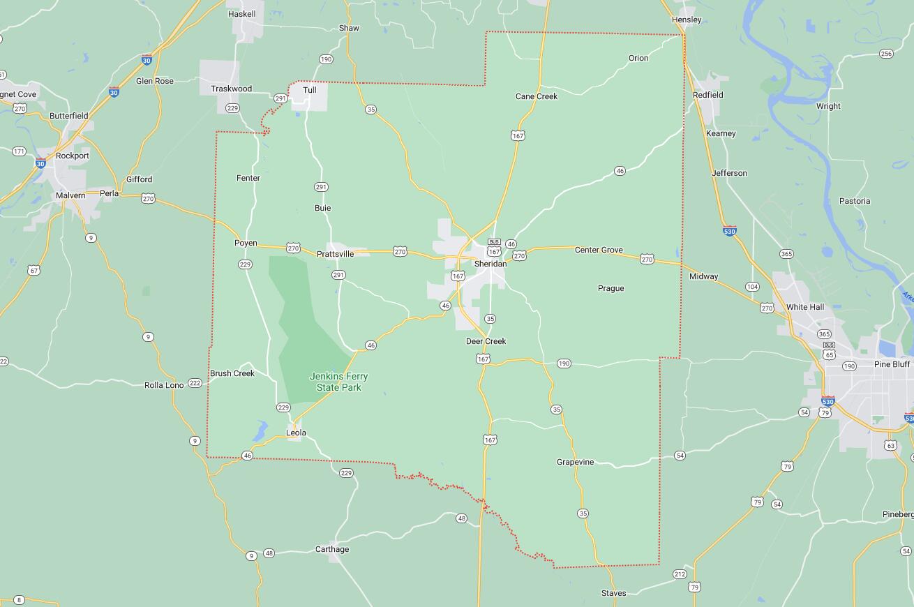
Map of Cities in Grant County, AR