History of Benton County, Indiana
Benton County, located in the northwestern corner of Indiana, is a region rich in agricultural heritage and modern economic innovation. The county was officially established in 1840 and named after Thomas Hart Benton, a prominent U.S. Senator from Missouri. Benton County’s early history was shaped by its fertile lands and proximity to major transportation routes, which allowed it to flourish as an agricultural hub. Over time, it has evolved into a blend of historical charm, rural traditions, and new technologies, particularly in wind energy. Today, Benton County offers a deep look at both Indiana’s rural past and its future potential in green energy.
Origins of Benton County
Early Native American Presence
Long before European settlers arrived, the land now known as Benton County was inhabited by Native American tribes, particularly the Miami and Potawatomi. These tribes lived along the Wabash River and its tributaries, relying on the region’s fertile soil for farming, hunting, and fishing. The Miami Nation was especially influential in the area before their forced relocation to reservations in the 1830s as part of the U.S. government’s westward expansion policies.
The Wabash River, a crucial waterway for the Native American tribes, continued to be an important asset for the early settlers. It not only provided a rich source of food but also served as a transportation route, making the region a significant part of the broader Native American trade network that stretched through much of the Midwest.
Early European Settlement and the Formation of Benton County
As the U.S. government signed treaties in the early 1800s to move Native Americans westward, European-American settlers began to settle the region. Following the Treaty of St. Mary’s in 1818, many Native tribes were forced to cede their lands, allowing for an influx of settlers into what is now Benton County.
The settlers, mainly from Kentucky, Tennessee, and the Carolinas, were drawn to the area by its fertile soil, mild climate, and abundant natural resources. In 1840, Benton County was officially formed from parts of Jasper and Warren Counties. The county was named after Thomas Hart Benton, a senator from Missouri who advocated for westward expansion and played a major role in the U.S. Senate during the early 19th century.
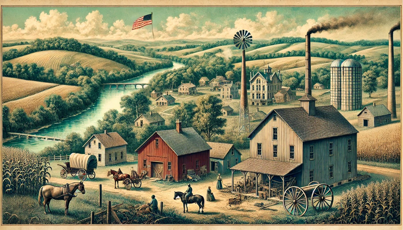
The early settlers of Benton County were primarily farmers. They cleared land for cultivation and began growing crops such as corn, wheat, oats, and barley. The development of the Wabash and Erie Canal in the 1830s provided a transportation route for agricultural products and helped accelerate the growth of towns like Fowler, the county seat.
Key Historical Events
Agricultural Development and Economic Growth
Benton County quickly became an agricultural powerhouse. The fertile soil and favorable climate were ideal for farming, and by the mid-19th century, the county had established itself as a major producer of corn, wheat, and livestock. The farmers of Benton County played an important role in feeding much of Indiana and the Midwest. The county also began to specialize in the production of livestock, particularly cattle, which contributed to the local economy and helped Benton County develop a reputation for high-quality agricultural products.
The Rise of the Railroad and Economic Transformation
As Benton County grew, so did the need for improved transportation. In the 1850s, the construction of railroads into the county transformed the local economy. The Lafayette and Indianapolis Railroad connected Benton County to major cities in Indiana, including Lafayette, Indianapolis, and Chicago. The railroad facilitated the transport of agricultural goods and provided a new source of income for farmers and traders.
Towns like Fowler and Oxford saw their populations grow as a result of the railroad. Businesses sprang up to support the expanding transportation networks, including grain mills, general stores, and packing houses. The railroad not only increased economic activity but also helped create a stronger connection between Benton County and the broader Midwest.
The Role of Benton County During the Civil War
Benton County was a Union-leaning region during the American Civil War, although like much of Indiana, the county was not without internal divisions. While the county did not see major battles, it did contribute to the war effort by providing soldiers, supplies, and logistical support. The presence of the railroad also made Benton County an important hub for moving troops and supplies. Many local men joined the Indiana Volunteer Infantry, and the county played a small but significant role in the broader war effort.
The aftermath of the Civil War marked a period of economic transition for Benton County. While the county was not as industrialized as other parts of Indiana, the influence of the war and the continuing expansion of railroads and agricultural technologies brought new economic opportunities.
The 20th Century and Beyond
The Great Depression and Agricultural Challenges
Like much of rural America, Benton County felt the effects of the Great Depression in the 1930s. During this time, many farms faced bankruptcy as crop prices plummeted and the market for agricultural goods declined. The effects of the Dust Bowl also impacted the area, leading to soil depletion and poor yields.
However, the New Deal programs enacted by President Franklin D. Roosevelt helped Benton County recover. Government programs like the Agricultural Adjustment Act (AAA) provided financial relief to farmers, and the Soil Conservation Service helped improve agricultural practices and restore the land’s productivity.
By the 1940s and 1950s, Benton County’s agricultural sector was once again flourishing, although the introduction of more advanced farming technologies began to alter the landscape of rural life. Mechanization, the introduction of synthetic fertilizers, and modern irrigation techniques led to increased crop yields, although it also led to the decline of small family farms as larger operations took over.
The Rise of Wind Energy
In the 21st century, Benton County found a new economic niche in the wind energy sector. The county’s flat, wide-open spaces and relatively strong winds made it an ideal location for wind farms. Benton County is now home to one of the largest wind farms in Indiana, and its renewable energy production has brought jobs, investment, and environmental awareness to the region.
The establishment of wind farms has played a key role in diversifying Benton County’s economy, which for many years had been largely based on agriculture. The Benton County Wind Farm, with its towering wind turbines, has not only brought energy solutions but also made Benton County a leader in clean energy production in the state.
Historical Sites in Benton County
1. Benton County Courthouse
Overview:
The Benton County Courthouse, built in 1874, is a striking example of Romanesque Revival architecture. The building is an iconic landmark in Fowler, featuring a clock tower, intricate brickwork, and large arched windows. It remains in use today as the county’s government center and is listed on the National Register of Historic Places. Visitors can learn about the county’s judicial history, and the building’s preservation efforts make it an important part of Benton County’s identity.
Location:
706 E 5th St, Fowler, IN 47944
Ticket Price:
Free
Parking Information:
Free parking is available in the courthouse parking lot and along nearby streets.
2. The Fowler Theatre
Overview:
The Fowler Theatre is a classic example of mid-20th-century Art Deco architecture. Opened in 1940, it is the only surviving example of such a theater in Benton County. Originally serving as a movie theater, the Fowler Theatre has been restored and now hosts a variety of community events, including films, plays, and concerts. It’s a beloved local treasure and a reminder of the county’s cultural past.
Location:
111 E 5th St, Fowler, IN 47944
Ticket Price:
$5 for adults, $3 for children (for movies)
Parking Information:
Free parking is available in a lot adjacent to the theater.
3. Benton County Wind Farms
Overview:
The Benton County Wind Farms are among the largest in Indiana. Covering thousands of acres, these wind farms consist of numerous turbines that generate clean, renewable energy. Guided tours are available for visitors interested in learning about how wind energy works and its role in powering homes and businesses across the state. The sight of the towering turbines against the backdrop of the flat farmland is awe-inspiring.
Location:
Various locations around Benton County, with visitor information available in Fowler.
Ticket Price:
Guided tours: $10 per person, discounts for groups
Parking Information:
Designated parking areas are available near the wind farms.
4. Oxford Museum
Overview:
The Oxford Museum offers a deep dive into Benton County’s history, from its Native American roots to its development as an agricultural center. The museum houses exhibits related to early pioneer life, including tools, clothing, and artifacts from the Native American tribes that once lived in the area. Visitors can also learn about the history of transportation in the county, including the role of the railroads.
Location:
105 S Howard St, Oxford, IN 47971
Ticket Price:
$3 for adults, $1 for children under 12
Parking Information:
Free parking is available on-site.
County Facts
Geography and Climate
Benton County is located in the northwestern region of Indiana and is part of the Tipton Till Plain, known for its level terrain and rich agricultural soil. The county spans approximately 406 square miles, with much of the land dedicated to farming. Benton County is characterized by wide-open fields, small rivers, and creeks, offering a picturesque rural landscape.
The climate in Benton County is classified as humid continental, with cold winters and warm, humid summers. Average summer temperatures hover in the 80s °F, while winter temperatures can dip below freezing. The county receives moderate rainfall throughout the year, making it ideal for farming.
County Facts:
- Year Founded: 1840
- County Seat: Fowler
- Population: 8,718 (2020 Census)
- Population Density: 21.5 people per square mile
- Largest Cities: Fowler, Oxford, Earl Park
- Major Highways: U.S. Route 41, U.S. Route 52, Indiana State Road 18
- Adjacent Counties:
- Newton County (north)
- Jasper County (northeast)
- White County (east)
- Tippecanoe County (southeast)
- Warren County (southwest)
- Vermillion County (west)


