Famous Landmarks in Kiribati
Top 10 Famous Landmarks in Kiribati
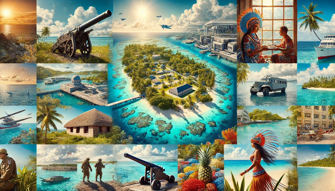
Kiribati, a remote island nation in the central Pacific Ocean, consists of 33 atolls and reef islands scattered across more than 3.5 million square kilometers of ocean. Though isolated, Kiribati is known for its stunning natural beauty, unique cultural heritage, and historical significance, particularly regarding World War II.
1. Betio War Memorial
Landmark Overview
Betio War Memorial is located on Betio Island, part of South Tarawa, and is one of the most significant historical sites in Kiribati. This memorial commemorates the soldiers who fought during the Battle of Tarawa in World War II, which was one of the bloodiest battles in the Pacific. The island was heavily fortified by Japanese forces, and many remnants of the war, including bunkers, artillery, and shipwrecks, remain scattered across Betio. The memorial site honors the soldiers who died during the battle and provides visitors with a sobering reminder of the war’s impact on the Pacific.
Location
- Betio, South Tarawa, Kiribati
- Coordinates: 1.3521° N, 172.9337° E
Ticket Price
- Entrance Fee: Free to visit.
Nearby Airports
- Bonriki International Airport: Located approximately 30 kilometers from Betio.
Nearby Railway Stations
- Rail Access: There are no railways in Kiribati.
Special Attention
World War II Artifacts
Visitors should be mindful that the area is still littered with remnants from the battle, including unexploded ordnance (UXO). Exercise caution when exploring war sites and follow local guidance on safe areas to visit.
Guided Tours
Hiring a local guide is recommended for a more in-depth understanding of the historical significance of the site. Guides can offer detailed insights into the events of the Battle of Tarawa and show key points of interest on the island.
2. Ambo Island
Landmark Overview
Ambo Island is a small island located in South Tarawa and is famous for its beautiful beaches, crystal-clear waters, and serene atmosphere. It is a popular destination for both locals and tourists looking to relax and enjoy Kiribati’s natural beauty. Ambo is particularly known for its scenic sunsets and calm lagoons, making it an ideal spot for swimming, snorkeling, and picnicking. The island is also home to Ambo Lagoon Club, a popular resort that offers accommodations and facilities for tourists.
Location
- Ambo, South Tarawa, Kiribati
- Coordinates: 1.3966° N, 173.0600° E
Ticket Price
- Entrance Fee: Free to access the island. Resort and activity fees vary.
Nearby Airports
- Bonriki International Airport: Located about 20 kilometers from Ambo.
Nearby Railway Stations
- Rail Access: No railways are available.
Special Attention
Snorkeling and Swimming
Ambo’s lagoons are calm and perfect for snorkeling and swimming. Visitors should bring their own equipment or check with the resort for rentals.
Best Time to Visit
The best time to visit Ambo is during the dry season, from May to November, when the weather is more predictable and there is less rainfall.
3. Kiritimati Island (Christmas Island)
Landmark Overview
Kiritimati Island, also known as Christmas Island, is the largest coral atoll in the world and is located in the Line Islands of Kiribati. Kiritimati is famous for its abundant wildlife, including seabird colonies and marine life, making it a haven for birdwatchers, nature enthusiasts, and sport fishing fans. The island also played a key role during the Cold War as a site for nuclear testing by the British government in the 1950s. Today, Kiritimati offers visitors a unique mix of natural beauty, history, and adventure.
Location
- Kiritimati Island, Line Islands, Kiribati
- Coordinates: 1.8721° N, 157.4278° W
Ticket Price
- Entrance Fee: Free to explore the island. Guided tours and activities such as fishing have separate fees.
Nearby Airports
- Cassidy International Airport: The main airport serving Kiritimati Island, with limited flights available.
Nearby Railway Stations
- Rail Access: No railways are available.
Special Attention
Wildlife Observation
Kiritimati is home to several endemic bird species and is a critical nesting site for seabirds. Visitors should respect wildlife habitats and follow local guidelines to minimize disturbance.
Fishing Opportunities
Kiritimati is considered one of the world’s top destinations for fly fishing, especially for bonefish. Visitors interested in fishing should book in advance with local operators for the best experience.
4. Tarawa Lagoon
Landmark Overview
Tarawa Lagoon is a stunning natural landmark that stretches across the main islands of Tarawa. Known for its turquoise waters, coral reefs, and vibrant marine life, the lagoon is a popular spot for water-based activities such as snorkeling, kayaking, and boating. The lagoon is also historically significant as the site of the Battle of Tarawa during World War II, with many shipwrecks and war remnants still visible beneath the surface.
Location
- Tarawa, Kiribati
- Coordinates: 1.4558° N, 173.0299° E
Ticket Price
- Entrance Fee: Free access.
Nearby Airports
- Bonriki International Airport: Located on South Tarawa, providing access to the lagoon.
Nearby Railway Stations
- Rail Access: No railways in Kiribati.
Special Attention
Water Activities
Visitors can enjoy various water activities, but it’s important to check for local advisories on currents and tides. Snorkeling in the lagoon provides an opportunity to see coral reefs and marine life up close.
Historical Diving Sites
Several shipwrecks from World War II can be explored by diving enthusiasts. It’s recommended to hire a local guide familiar with the wrecks and their locations.
5. Tabuaeran (Fanning Island)
Landmark Overview
Tabuaeran, also known as Fanning Island, is part of the Line Islands in Kiribati and is famous for its unspoiled beaches and traditional way of life. The island is a popular stop for cruise ships, offering visitors a chance to experience local culture, participate in traditional activities, and explore the island’s lush tropical environment. Fanning Island is also a great destination for eco-tourists looking to experience a remote and undeveloped part of the Pacific.
Location
- Tabuaeran (Fanning Island), Line Islands, Kiribati
- Coordinates: 3.8631° N, 159.3645° W
Ticket Price
- Entrance Fee: Free entry. Tours and activities may have additional fees.
Nearby Airports
- Cassidy International Airport (Kiritimati Island): Fanning Island is accessible by boat from Kiritimati.
Nearby Railway Stations
- Rail Access: No railways are available.
Special Attention
Cultural Experiences
Fanning Island offers a unique opportunity to engage with traditional Kiribati culture. Visitors can watch local dance performances, learn about handicrafts, and participate in community activities.
Sustainable Tourism
As Fanning Island remains largely undeveloped, visitors are encouraged to practice sustainable tourism by minimizing waste and respecting the local environment and customs.
6. Bikenibeu Beach
Landmark Overview
Bikenibeu Beach is one of the most popular beaches on South Tarawa, known for its white sandy shores and shallow, clear waters. The beach is a favorite spot for locals and visitors alike, offering a relaxed atmosphere for swimming, sunbathing, and picnicking. With nearby amenities such as shops and restaurants, Bikenibeu Beach is easily accessible and a great location for a day trip.
Location
- Bikenibeu, South Tarawa, Kiribati
- Coordinates: 1.3726° N, 173.1684° E
Ticket Price
- Entrance Fee: Free access.
Nearby Airports
- Bonriki International Airport: Located about 10 kilometers from Bikenibeu Beach.
Nearby Railway Stations
- Rail Access: No railways are available.
Special Attention
Swimming Safety
While Bikenibeu Beach is generally safe for swimming, visitors should be mindful of tides and currents. It’s advisable to swim during high tide when the water is clearer and calmer.
Nearby Amenities
Bikenibeu offers a range of nearby amenities, including cafes, local eateries, and small markets. It’s a convenient spot for both beachgoers and those looking to explore the local area.
7. Butaritari Island
Landmark Overview
Butaritari Island, located in the northern Gilbert Islands, is known for its lush greenery, fertile land, and historical significance during World War II. The island was an important base for Allied forces and saw several military operations. Today, Butaritari is a peaceful island with a rich agricultural tradition, producing fruits and vegetables that are rare on other Kiribati islands. Visitors to Butaritari can explore its wartime relics, enjoy its natural beauty, and interact with the friendly local community.
Location
- Butaritari, Kiribati
- Coordinates: 3.0707° N, 172.7900° E
Ticket Price
- Entrance Fee: Free to explore the island.
Nearby Airports
- Butaritari Airport: The island is served by small domestic flights from South Tarawa.
Nearby Railway Stations
- Rail Access: No railways are available.
Special Attention
Wartime Relics
Butaritari still holds several remnants of World War II, including bunkers and landing strips. Visitors should take caution when exploring these historical sites and seek local advice for safe exploration.
Agricultural Produce
Butaritari’s fertile soil produces a variety of fruits and vegetables not commonly found on other islands. Be sure to try the fresh produce available in local markets during your visit.
8. Phoenix Islands Protected Area (PIPA)
Landmark Overview
The Phoenix Islands Protected Area (PIPA) is one of the largest marine protected areas in the world, covering over 400,000 square kilometers of ocean. It is home to a vast array of marine life, including sharks, dolphins, whales, and vibrant coral reefs. PIPA is a UNESCO World Heritage Site and represents Kiribati’s commitment to preserving its marine biodiversity. The remote location of the Phoenix Islands means that it is primarily visited by researchers and scientists, but adventurous travelers can arrange special tours to explore the area’s pristine waters.
Location
- Phoenix Islands, Kiribati
- Coordinates: 4.7167° S, 172.6167° W
Ticket Price
- Entrance Fee: Special permits are required to visit, and fees vary depending on the tour operator.
Nearby Airports
- Kanton Island Airport: The only airstrip in the Phoenix Islands, used primarily for research and limited tourism.
Nearby Railway Stations
- Rail Access: No railways are available.
Special Attention
Conservation Efforts
PIPA is a vital marine conservation area, and visitors should respect the strict environmental guidelines in place. Activities such as fishing and collecting coral are prohibited to protect the ecosystem.
Diving and Snorkeling
The Phoenix Islands offer some of the best diving and snorkeling opportunities in the world, with an abundance of marine life and healthy coral reefs. Tours must be arranged in advance through licensed operators.
9. Tamana Island
Landmark Overview
Tamana Island is the southernmost island in the Gilbert Islands chain and is known for its unique cultural traditions and small population. Despite its small size, Tamana is home to a rich history of traditional craftsmanship, particularly in canoe building and weaving. Visitors to Tamana can experience a slower pace of life, participate in community activities, and explore the island’s natural beauty.
Location
- Tamana, Kiribati
- Coordinates: 2.5000° S, 175.9667° E
Ticket Price
- Entrance Fee: Free to visit.
Nearby Airports
- Tamana Airport: The island has a small airstrip serving domestic flights.
Nearby Railway Stations
- Rail Access: No railways are available.
Special Attention
Traditional Canoe Building
Tamana is known for its traditional canoe-building techniques. Visitors can observe craftsmen at work and learn about the significance of canoe building in Kiribati culture.
Remote Location
As one of the more remote islands in Kiribati, Tamana is ideal for travelers seeking an off-the-beaten-path experience. Visitors should be prepared for basic amenities and limited access to modern facilities.
10. Banaba Island
Landmark Overview
Banaba Island, also known as Ocean Island, is one of the most geographically isolated islands in Kiribati. Historically, Banaba was known for its phosphate deposits, which were heavily mined during the 20th century. The island’s landscape was drastically altered by the mining operations, but today Banaba is home to a small community focused on rebuilding and preserving their culture. Visitors to Banaba can learn about the island’s complex history and explore its rugged terrain.
Location
- Banaba Island, Kiribati
- Coordinates: 0.8500° S, 169.5500° E
Ticket Price
- Entrance Fee: Free to explore.
Nearby Airports
- No commercial airports serve Banaba Island. Travel to Banaba typically requires special arrangements by boat from neighboring islands.
Nearby Railway Stations
- Rail Access: No railways are available.
Special Attention
Historical Significance
Banaba’s phosphate mining history has left a significant mark on the island’s culture and environment. Visitors should be respectful of the local community’s efforts to preserve their heritage and restore the island’s ecosystem.
Limited Access
Due to its remote location and lack of infrastructure, travel to Banaba requires careful planning. Visitors should arrange trips in advance and be prepared for limited facilities on the island.


