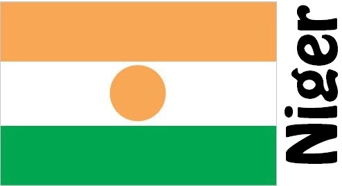
Niger Facts
Niger, State of West Africa; 1.3 million km², 22.4 million residents (2019).Niger lacks coast and borders west to Mali, north to Algeria and Libya, east to Chad, south to Nigeria and southwest to Benin and Burkina Faso. The capital is Niamey 1.1 million residents (2012).

Country facts
- Republic of Niger / Republic of Niger
- Country abbreviation: NE
- Area: 1.3 million km²
- Population (2019): 22.4 million residents
- Capital: Niamey
- Main languages: Hausa, Songhai, French
- State: Republic
- Head of State: Mahamadou Issoufou (President)
- Head of Government: Brigi Rafini
- Per capita GDP (2018): US $ 412
- GNI per capita (2018): US $ 380
- Currency unit: 1 CFA franc = 100 centimes
- Currency code: XOF
- Country number (telephony): 227
- Internet domain name: ne
- Time difference compared to Sweden: 0
- National Day: December 18 (Founding of the Republic, 1958)
- Independence Day: August 2, 1958
Nature
- Land use: forest (2%), agricultural land (4%), other (mainly desert, 94%)
- Highest mountain: Bagzane (2,022 m above sea level)
- Longest river: Niger (4,160 km)
Population
- Population density (2019): 17 residents per km²
- Natural population growth (2019): 3.8%; birth number 47 ‰, death number 9 ‰
- Age structure (2019): 0-14 years (50%), 15-64 (47%), 65- (3%)
- Average life expectancy (2019): men 60 years, women 63 years
- Infant mortality (2019): 47 per 1,000 live births
- Population forecast 2050: 66 million residents
- HDI (2017): 0.354 (place 189 of 189)
- Urbanization rate (2019): 16%
- Most populous cities (2012): Niamey (1.1 million residents), Zinder (253,800), Maradi (188,000)
Business
- Industry’s contribution to GDP (2017): agriculture (42%), industry (20%), service (38%)
- Exports (2017): US $ 4 143 million
- Main export products: uranium, animals, hides
- Main exporting countries: France, Thailand, Malaysia
- Imports (2017): US $ 1,829 million
- Main import products: cereals, machinery, vehicles
- Main importing countries: France, China, Malaysia
- Railway network: nothing works
In northern Niger, a highland is spreading where the Talak plain and the Ténéré desert to the west and east of the Aïr massif are parts of the Sahara. To the south, a plateau region with a steppe character is part of the Sahel. The country’s southwest is a low plateau region that is crossed by the Niger River. The country has a dry tropical climate, which is among the warmest on earth.
According to the Constitution, the President has been granted extensive powers and can only be set aside for high treason. The president is elected for five years in general elections. The Prime Minister is appointed by the President and is responsible for the National Assembly, which is also elected for five years. The country became independent in 1960.
Niger’s economic development has long been hampered by political unrest and the unilateral dependence on uranium exports. In recent years, the dominant role of uranium for business has been reduced, and increased mining of gold, oil and coal provides hope for future development opportunities. The country also has a large unofficial sector.
Niger Map


