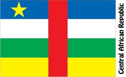
Central African Republic Facts
Central African Republic, State of Central Africa; 623,000 km², 4.7 million residents (2019).The Central African Republic borders north to Chad, east to Sudan and South Sudan, south to Congo (Kinshasa) and Congo (Brazzaville), and west to Cameroon. The capital is Bangui (734,400 residents, 2013).

Country facts
- Republic Centrafricaine / Central African Republic
- Country abbreviation: CF
- Area: 623 000 km²
- Population (2019): 4.7 million residents
- Capital: Bangui
- Main languages: French, Sango
- State: Republic
- Head of State: Faustin-Archange Touadéra (President)
- Head of Government: Firmin Ngrébada
- Per capita GDP (2018): US $ 510
- GNI per capita (2018): US $ 480
- Currency unit: 1 CFA franc = 100 centimes
- Currency code: XAF
- Country number (telephony): 236
- Internet domain name: cf
- Time difference compared to Sweden: 0
- National Day: December 1 (Autonomy, 1958)
- Independence Day: August 13, 1960
Nature
- Land use: forest (57%), agricultural land (3%), other (40%)
- Highest mountain: Ngaoui (1,420 m above sea level)
Population
- Population density (2019): 8 residents per km²
- Natural population growth (2019): 2.3%; birthrate 36 ‰, deathrate 13 ‰
- Age structure (2019): 0-14 years (45%), 15-64 (55%), 65- (3%)
- Average life expectancy (2019): men 50 years, women 54 years
- Infant mortality (2019): 83 per 1,000 live births
- Population forecast 2050: 8 million residents
- HDI (2017): 0.367 (place 188 of 189)
- Urbanization rate (2019): 41%
- Most populous cities (2013): Bangui (734,400 residents), Bimbo (267,900)
Business
- Industry’s contribution to GDP (2017): agriculture (43%), industry (16%), service (41%)
- Exports (2017): US $ 114 million
- Main export products: diamonds, timber, cotton
- Main exporting countries: France, Burundi, China
- Imports (2017): US $ 393 million
- Main import products: food, oil, machinery
- Main importing countries: France, USA, India
- Railway network: nothing in operation
The Central African Republic consists largely of a plateau-like highland. A threshold-like rise through the east-west stretch of land constitutes a water divide for the Nile in the east, Congo with the tributary Oubangui in the south and the Chad basin in the north. The country has a savannah-type tropical climate that forms a transition between the dry steppe and desert climate in the northern neighboring countries and the tropical rainforest climate in the south.
The country’s constitution prescribes multiparty systems, but in recent years the constitution has been put out of play and political life has been dominated by military coups, dictatorship and political unrest. The president has great power and appoints people to the most important positions in government, military and judiciary. The president is elected in direct elections every five years. After a military coup in 2013, rebel leader Michel Djotodia proclaimed president and dissolved parliament; at the same time the constitution was also repealed. The country became independent in 1960.
The political turmoil, poorly developed or substandard transport routes as well as fluctuating world market prices for some of the dominant export products have led to the country’s economy being close to collapse on many occasions. The country is dependent on aid and loans, and despite good access to diamonds, forests and gold, the business sector is made up of agriculture and livestock management.
Central African Republic Map


