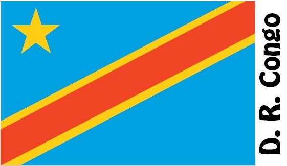
Democratic Republic of the Congo Facts
Kinshasa Congo, State of Central Africa; 2.3 million km², 84.1 million residents (2019).Congo borders in the east to Uganda, Rwanda, Burundi and Tanzania, in the southeast to Zambia, in the southwest to Angola, in the west to Congo (Brazzaville), in the northwest to the Central African Republic and in the north to South Sudan. The country also has a small coastal strip at the mouth of the Congo River in the Atlantic. The capital is Kinshasa (8.9 million residents, 2010).

Country facts
- Republic of the Congo / Democratic Republic of Congo
- Country abbreviation: CD
- Area: 2.3 million km²
- Population (2019): 84.1 million residents
- Capital: Kinshasa
- Main language: French
- State: Republic
- Head of State: Félix Tshisekedi (President)
- Head of Government: Sylvestre Ilunga
- Per capita GDP (2018): US $ 562
- GNI per capita (2018): US $ 490
- Currency unit: 1 CFA franc = 100 centimes
- Currency code: CDF
- Country number (telephony): 243
- Internet domain name: cd
- Time difference compared to Sweden: 0 to +1
- National Day: June 30 (Independence Day, 1960)
Nature
- Land use: forest (78%), agricultural land (4%), other (18%)
- Highest mountain: Margherita (5 119 m above sea level)
- Longest river: Congo (4,670 km)
Population
- Population density (2019): 36 residents per km²
- Natural population growth (2019): 3.2%; birth rate 42 ‰, death rate 10 ‰
- Age structure (2019): 0-14 years (46%), 15-64 (45%), 65- (9%)
- Life expectancy (2019): men 59 years, women 62 years
- Infant mortality (2019): 66 per 1,000 live births
- Population forecast 2050: 194 million residents
- HDI (2017): 0.457 (place 176 of 189)
- Urbanization rate (2019): 45%
- Most populous cities (2010): Kinshasa (8.9 million residents), Lubumbashi (1.6 million), Mbuji-Mayi (1.6 million)
Business
- Industry’s contribution to GDP (2017): agriculture (20%), industry (44%), service (36%)
- Exports (2017): US $ 10 980 million
- Main export products: diamonds, copper, gold
- Main exporting countries: China, Zambia, South Korea
- Imports (2017): US $ 10 820 million
- Main import products: food, machinery, transport
- Main importing countries: China, South Africa, Zambia
- Railway network (2014): 4,000 km
Congo is occupied to about 3/4 of a central stream, where the tributary of the Congo tributary dominates. To the south are the Kwango-Kwilu Plateau and the Katanga Plateau, both of which rise to the east, where the country is bounded by a western branch of the East African Rift system. In the area closest to the equator there is a tropical rainforest climate, on both sides a tropical savannah climate.
According to the country’s constitution, the president is head of state and is elected in general elections for a five-year term. The president has far-reaching powers. Parliament consists of a Senate and a National Assembly, whose members are elected in general elections for a term of five years.
The country, which became independent in 1960, has huge resources of minerals, diamonds, forests and water as well as good conditions for agriculture. However, due to political chaos, poor infrastructure and great dependence on the world market price for a few dominant export products, the country’s economy is in disarray. As a result, the informal sector has grown and is estimated to be three times the size of the official gross domestic product.
Democratic Republic of the Congo Map


