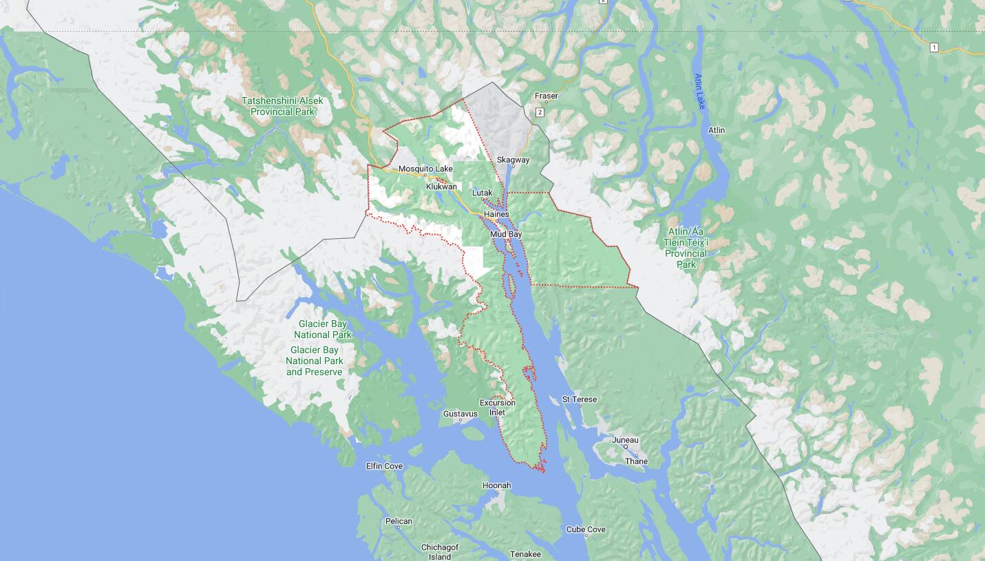
Cities and Towns in Haines Borough, Alaska
Founded in 1968 (Consolidated 2002), Haines Borough is one of 20 boroughs in the state of Alaska. The city of (Consolidated city-borough) is the borough seat. With FIPS code of 100, Haines Borough has a population of 2,071 and area of 2,343 square miles (6,068 km²).
List of all cities in Haines Borough, AK alphabetically
| City/Town | Postal Code | Area Code |
| Haines, AK | 99827 | 907 |
Major Cities and Towns in Haines Borough, Alaska
Haines
Area, Population, and Coordinates
- Area: 21.6 square miles
- Population: 2,508 (as of the last census)
- ZIP Codes: 99827
- Latitude and Longitude:
- Latitude: 59.2358° N
- Longitude: 135.4450° W
Location and History
Haines is the largest community and the administrative center of Haines Borough, located on the Chilkat Peninsula in southeastern Alaska. The area has a long history, originally inhabited by the Tlingit people, who established trade routes and villages in the region. The town of Haines was founded in the late 19th century as a mission site by Presbyterian missionaries and quickly grew as a trading post during the Klondike Gold Rush. Its strategic location along the Lynn Canal made it a key port and military outpost, especially during World War II. Today, Haines is known for its stunning natural scenery, including mountains, forests, and waterways, making it a popular destination for outdoor enthusiasts. The town also plays a significant role in the cultural preservation of the Tlingit heritage.
Major Schools and Landmarks
Haines is served by the Haines Borough School District, with Haines School providing education from kindergarten through 12th grade. The town is home to several significant landmarks, including Fort Seward, a historic military installation that now hosts galleries, shops, and a hotel. The Sheldon Museum and Cultural Center offers exhibits on the area’s history, including Tlingit culture and the impact of the Klondike Gold Rush. The nearby Chilkat Bald Eagle Preserve is a major attraction, home to the world’s largest concentration of bald eagles, drawing birdwatchers and nature lovers from around the globe. Additionally, the Haines Highway offers stunning views and access to the Yukon, making it one of the most scenic drives in Alaska.
Klukwan
Area, Population, and Coordinates
- Area: 1.6 square miles
- Population: 95 (as of the last census)
- ZIP Codes: 99827
- Latitude and Longitude:
- Latitude: 59.4008° N
- Longitude: 135.8867° W
Location and History
Klukwan is a small village located about 22 miles northwest of Haines, along the Chilkat River. The village is one of the oldest continuously inhabited settlements in Alaska, with a history dating back over 1,000 years. Klukwan, meaning “eternal village” in the Tlingit language, is a significant cultural center for the Tlingit people and is known for its strong preservation of traditional practices, art, and language. The village’s location along the Chilkat River, which is rich in salmon, has supported its residents for centuries through fishing and trade. Klukwan is also known for its role in the preservation of Tlingit totemic art, with several ancient totem poles still standing in the village today.
Major Schools and Landmarks
Klukwan is part of the Haines Borough School District, with students typically attending schools in nearby Haines. The village is home to the Klukwan School, which offers education from kindergarten through 12th grade, with a strong emphasis on Tlingit culture and language. The most notable landmark in Klukwan is the Jilkaat Kwaan Cultural Heritage Center, which showcases Tlingit art, history, and culture, including ancient artifacts, traditional carvings, and totem poles. The nearby Chilkat River is also a vital landmark, known for its abundant salmon runs, which are central to the village’s subsistence lifestyle. The annual “Hooligan” celebration, honoring the eulachon fish, is a significant cultural event in Klukwan, drawing visitors and highlighting the village’s deep connection to the land and water.
Map of Cities in Haines Borough, AK