Cities and Towns in Whitfield County, Georgia
Founded in 1851, Whitfield County is one of 159 counties in the state of Georgia. Historically, Whitfield County was formed from Murray County. The city of Dalton is the county seat. With FIPS code of 313, Whitfield County has a population of 102,848 and area of 290 square miles (751 km²).
List of all cities in Whitfield County, GA alphabetically
| City/Town | Postal Code | Area Code |
| Cohutta, GA | 30710 | 706/762 |
| Dalton, GA | 30719 | 706/762 |
| 30720 | 706/762 | |
| 30721 | 706/762 | |
| 30722 | 706/762 | |
| Rocky Face, GA | 30740 | 706/762 |
| Tunnel Hill, GA | 30755 | 706/762 |
Major Cities and Towns in Whitfield County, Georgia
Dalton
Area, Population, Zip Codes, Latitude and Longitude
- Area: 22.4 square miles
- Population: Approximately 33,000 (as of the 2020 census)
- Zip Codes: 30720, 30721, 30722, 30719
- Latitude and Longitude: 34.7698° N, 84.9702° W
Location and History
Dalton is the county seat and largest city in Whitfield County, located in the northwestern part of Georgia. Founded in 1847, Dalton quickly became a key hub for the textile industry, earning it the title “Carpet Capital of the World.” The city’s development was significantly influenced by its location along key transportation routes, including the Western and Atlantic Railroad. During the Civil War, Dalton was a strategic military site and saw several skirmishes and battles. After the war, the textile industry, particularly carpet manufacturing, dominated the local economy. Today, Dalton remains a global center for carpet production, with numerous factories and businesses related to the flooring industry operating in and around the city.
Major Schools and Landmarks
Dalton is served by Dalton Public Schools, including Dalton High School, Dalton Middle School, and Brookwood Elementary School. The city is also home to Dalton State College, a public college offering a range of undergraduate programs. Notable landmarks in Dalton include the Chief Vann House Historic Site, the home of Cherokee leader James Vann, which is now a museum. The Dalton Freight Depot, another historic site, offers insights into the city’s railroad history. The Creative Arts Guild, the oldest multi-disciplinary community arts center in Georgia, promotes the arts in the region through galleries, performances, and events. Dalton’s rich history, strong educational institutions, and thriving industrial base make it the heart of Whitfield County.
Varnell
Area, Population, Zip Codes, Latitude and Longitude
- Area: 2.9 square miles
- Population: Approximately 1,700 (as of the 2020 census)
- Zip Codes: 30756
- Latitude and Longitude: 34.9017° N, 84.9744° W
Location and History
Varnell is a small town located in the northern part of Whitfield County, Georgia. Incorporated in 1968, Varnell has a history that dates back to the 19th century when it was a small rural community. The town’s growth accelerated in the mid-20th century as suburban development expanded northward from Dalton. Varnell is known for its peaceful, residential character and its close proximity to the city of Dalton, providing residents with a quiet lifestyle while still having access to the amenities of a larger city. The town has maintained its small-town charm and close-knit community atmosphere over the years.
Major Schools and Landmarks
Varnell is served by schools in the Whitfield County School District, including Varnell Elementary School, North Whitfield Middle School, and Coahulla Creek High School. The town’s notable landmarks include Prater’s Mill, a historic gristmill and cultural site located nearby, which hosts an annual country fair and is a popular local attraction. The town’s proximity to the Chattahoochee National Forest also offers residents and visitors opportunities for outdoor activities such as hiking, fishing, and camping. Varnell’s combination of historical significance, educational resources, and natural beauty make it an important part of Whitfield County.
Tunnel Hill
Area, Population, Zip Codes, Latitude and Longitude
- Area: 1.7 square miles
- Population: Approximately 900 (as of the 2020 census)
- Zip Codes: 30755
- Latitude and Longitude: 34.8434° N, 85.0377° W
Location and History
Tunnel Hill is a small town in Whitfield County, Georgia, known for its significant role in Civil War history. The town was incorporated in 1848 and takes its name from the Western and Atlantic Railroad tunnel that runs through Chetoogeta Mountain. This tunnel, completed in 1850, was one of the first railroad tunnels in the southeastern United States and played a strategic role during the Civil War. The Battle of Tunnel Hill was fought nearby in 1864 as part of the Atlanta Campaign. Today, the town preserves much of its historical character, with the railroad tunnel and surrounding battlefield remaining key attractions.
Major Schools and Landmarks
Tunnel Hill is served by schools in the Whitfield County School District, including Tunnel Hill Elementary School and Northwest Whitfield High School. The town’s most prominent landmark is the Tunnel Hill Heritage Center, which includes the historic railroad tunnel and a Civil War museum. The site offers tours of the tunnel and hosts reenactments and other events that bring the history of the area to life. The town’s annual Battle of Tunnel Hill Reenactment is a major event that draws visitors interested in Civil War history. Tunnel Hill’s historical significance and its efforts to preserve its rich past make it a unique and valuable part of Whitfield County.
Cohutta
Area, Population, Zip Codes, Latitude and Longitude
- Area: 3.3 square miles
- Population: Approximately 650 (as of the 2020 census)
- Zip Codes: 30710
- Latitude and Longitude: 34.9626° N, 84.9521° W
Location and History
Cohutta is a small town located in the northern part of Whitfield County, near the Tennessee border. The town was incorporated in 1969, but its history dates back much earlier, with settlement in the area beginning in the 1830s. The name “Cohutta” comes from a Cherokee word meaning “a shed roof supported on poles,” reflecting the town’s Native American heritage. Cohutta developed as a rural farming community, with its economy traditionally based on agriculture, particularly dairy farming. The town has maintained its small, rural character, offering residents a quiet lifestyle surrounded by natural beauty.
Major Schools and Landmarks
Cohutta is served by schools in the Whitfield County School District, including Cohutta Elementary School, North Whitfield Middle School, and Coahulla Creek High School. The town’s landmarks include the Cohutta Depot Museum, which preserves the history of the town and the surrounding area, with exhibits on the local railroad and farming history. The nearby Red Clay State Historic Park, located just across the border in Tennessee, offers a glimpse into the history of the Cherokee Nation and the Trail of Tears. The town’s rural setting and proximity to natural attractions like the Cohutta Wilderness make it a desirable location for those seeking a peaceful, small-town environment. Cohutta’s blend of historical significance, educational resources, and natural surroundings make it a cherished part of Whitfield County.
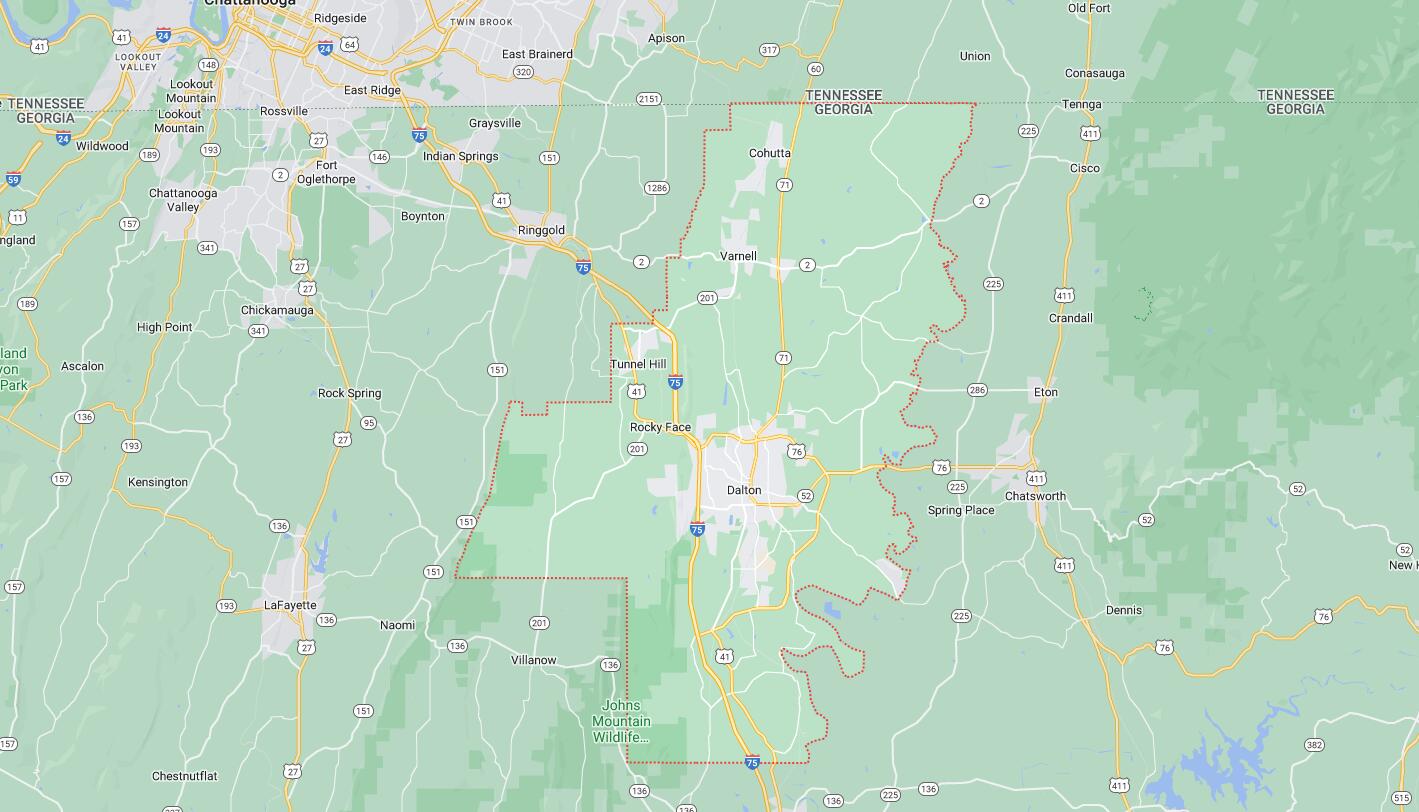
Map of Cities in Whitfield County, GA