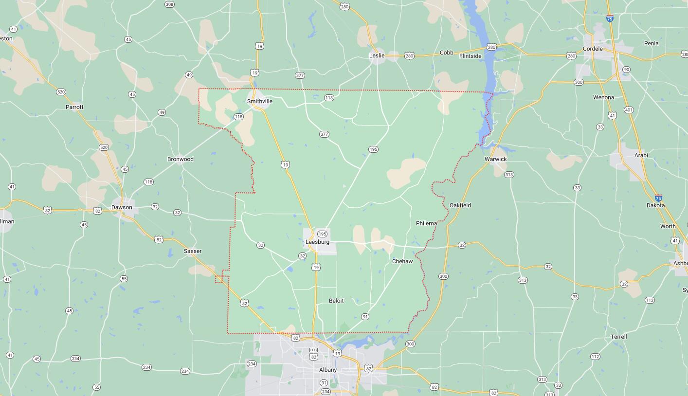
Cities and Towns in Lee County, Georgia
Founded in 1826, Lee County is one of 159 counties in the state of Georgia. Historically, Lee County was formed from Creek Cessions of 1826. The city of Leesburg is the county seat. With FIPS code of 177, Lee County has a population of 33,411 and area of 356 square miles (922 km²).
List of all cities in Lee County, GA alphabetically
| City/Town | Postal Code | Area Code |
| Leesburg, GA | 31763 | 229 |
| Smithville, GA | 31787 | 229 |
Major Cities and Towns in Lee County, Georgia
Leesburg
Area, Population, Zip Codes, Latitude and Longitude
- Area: 4.8 square miles
- Population: Approximately 3,000 (as of the 2020 census)
- Zip Codes: 31763
- Latitude and Longitude: 31.7324° N, 84.1710° W
Location and History
Leesburg is the county seat and largest city in Lee County, Georgia, located in the southwestern part of the state. Established in 1870, Leesburg was originally named Wooten Station, after a local railroad executive, but was later renamed in honor of Robert E. Lee. The city’s growth was closely tied to the expansion of the railroad, which facilitated the transportation of agricultural products, particularly cotton, to larger markets. Throughout its history, Leesburg has maintained a strong agricultural economy, with farming remaining a central part of the local culture and economy. In recent years, Leesburg has experienced growth as a suburban community, attracting residents who work in the nearby city of Albany while enjoying the small-town charm of Leesburg.
Major Schools and Landmarks
Leesburg is served by the Lee County School District, which includes Lee County High School, Lee County Middle School, and Lee County Elementary School. The city is home to several notable landmarks, including the historic Lee County Courthouse, built in 1918, which is listed on the National Register of Historic Places. The courthouse, with its Classical Revival architecture, is a focal point of the city and serves as a symbol of the county’s rich history. Leesburg is also known for its connections to music, being the hometown of country music star Luke Bryan. The city’s annual events, such as the Lee County Fair, celebrate its agricultural heritage and strong community spirit. Leesburg’s blend of historical significance, educational resources, and suburban appeal make it the heart of Lee County.
Smithville
Area, Population, Zip Codes, Latitude and Longitude
- Area: 1.1 square miles
- Population: Approximately 600 (as of the 2020 census)
- Zip Codes: 31787
- Latitude and Longitude: 31.9032° N, 84.2476° W
Location and History
Smithville is a small city located in the northern part of Lee County, Georgia. The city was incorporated in 1869 and named after a local family of early settlers. Smithville developed as a railroad town, with its economy historically centered around agriculture and transportation. The arrival of the railroad in the late 19th century played a significant role in the city’s growth, making it a key stop for passengers and freight in the region. Over the years, Smithville has maintained its rural charm, with a close-knit community that values its history and traditions. The city’s economy remains largely agricultural, with farming continuing to be an important industry.
Major Schools and Landmarks
Smithville is served by the Lee County School District, with students typically attending schools in nearby Leesburg, such as Lee County High School. The city’s landmarks include several historic homes and churches that reflect its long-standing agricultural heritage and community values. The Smithville Train Depot, a historic site, is a reminder of the city’s origins as a railroad town and serves as a symbol of its past. The surrounding countryside offers opportunities for outdoor activities such as hunting, fishing, and exploring the natural beauty of the area. Smithville’s annual events, including local fairs and festivals, highlight the town’s strong sense of tradition and community spirit. Smithville’s historical roots, rural charm, and close-knit community make it an important part of Lee County.
Redbone
Area, Population, Zip Codes, Latitude and Longitude
- Area: N/A (Unincorporated community)
- Population: Approximately 200 (as of the 2020 census)
- Zip Codes: 31763 (Leesburg)
- Latitude and Longitude: 31.7838° N, 84.0914° W
Location and History
Redbone is a small, unincorporated community located in Lee County, Georgia, to the southeast of Leesburg. The community’s name likely originates from the Redbone District, a historical area known for its distinctive red clay soil. Redbone has a long history as a rural agricultural community, with its economy traditionally centered around farming, particularly cotton and peanuts. The area is characterized by its rolling farmland, forests, and a few small homesteads, which have been maintained by generations of families. Despite its small size, Redbone has a strong sense of identity and community, with residents deeply connected to the land and its agricultural heritage.
Major Schools and Landmarks
Redbone is served by the Lee County School District, with students attending schools in Leesburg, including Lee County High School. The community is known for its rural landscapes, which provide opportunities for outdoor activities such as hunting, fishing, and exploring the natural environment. While Redbone does not have many formal landmarks, its historical significance is reflected in the old farmhouses and small churches that dot the countryside. The community’s annual gatherings and church events bring residents together, fostering a strong sense of community. Redbone’s rural charm, agricultural roots, and close-knit atmosphere make it a unique and valued part of Lee County.
Palmyra
Area, Population, Zip Codes, Latitude and Longitude
- Area: N/A (Unincorporated community)
- Population: Approximately 100 (as of the 2020 census)
- Zip Codes: 31701 (Albany)
- Latitude and Longitude: 31.6053° N, 84.1732° W
Location and History
Palmyra is a small, unincorporated community located in the southern part of Lee County, Georgia, near the border with Dougherty County. The community was established in the 19th century and was originally part of the larger Palmyra District, which played a significant role in the early settlement of the region. Palmyra developed as a rural agricultural area, with its economy based on farming, particularly cotton and later peanuts. The community’s history is closely tied to the broader agricultural patterns of southwestern Georgia, with many of its residents engaged in farming and related industries. Palmyra has remained a quiet, rural area with a strong connection to its past.
Major Schools and Landmarks
Palmyra is served by the Lee County School District, with students attending schools in Leesburg and Albany, including Lee County High School. The community’s landmarks include historic churches and old farmsteads that reflect its agricultural heritage. The surrounding area offers opportunities for outdoor activities, such as hunting, fishing, and hiking, particularly in the nearby Chehaw Park and Radium Springs, which are located just across the county line in Albany. Palmyra’s annual events, including church functions and community picnics, reflect the town’s strong sense of tradition and community spirit. Palmyra’s historical significance, rural charm, and connection to the agricultural heritage of Lee County make it a valued part of the region.
Map of Cities in Lee County, GA