Cities and Towns in Izard County, Arkansas
Founded on October 27, 1825, Izard County is one of 75 counties in the state of Arkansas. Historically, Izard County was formed from Independence and Crawford counties, and later from Fulton (prior 1880). The city of Melbourne is the county seat. With FIPS code of 65, Izard County has a population of 13,911 and area of 584.02 square miles (1,513 km²).
List of all cities in Izard County, AR alphabetically
| City/Town | Postal Code | Area Code |
| Boswell, AR | 72556 | 870 |
| Brockwell, AR | 72517 | 870 |
| Calico Rock, AR | 72519 | 870 |
| Dolph, AR | 72528 | 870 |
| Forty Four, AR | 72585 | 870 |
| Franklin, AR | 72512 | 870 |
| 72536 | 870 | |
| Guion, AR | 72540 | 870 |
| Horseshoe Bend, AR | 72512 | 870 |
| Jordan, AR | 72519 | 870 |
| La Crosse, AR | 72584 | 870 |
| Melbourne, AR | 72556 | 870 |
| Mount Pleasant, AR | 72561 | 870 |
| Oxford, AR | 72565 | 870 |
| Pineville, AR | 72566 | 870 |
| Sage, AR | 72573 | 870 |
| Violet Hill, AR | 72584 | 870 |
| Wideman, AR | 72585 | 870 |
| Wiseman, AR | 72587 | 870 |
| Zion, AR | 72556 | 870 |
Major Cities and Towns in Izard County, Arkansas
Melbourne
Area, Population, and Coordinates
- Area: 6.2 square miles
- Population: 1,848 (as of the last census)
- ZIP Codes: 72556
- Latitude and Longitude:
- Latitude: 36.0589° N
- Longitude: 91.8940° W
Location and History
Melbourne is the county seat and largest city in Izard County, Arkansas. Established in 1875, the city was named after Melbourne, Australia, reflecting the settlers’ optimism and ambitions for the town. Melbourne grew as an agricultural and trade center for the surrounding rural areas, with its economy historically based on farming, particularly the production of cotton and livestock. The city’s location in the scenic Ozark Mountains has also made it a popular destination for outdoor enthusiasts. Over the years, Melbourne has developed into a vibrant community with a blend of historical charm and modern amenities, while maintaining its strong connection to its agricultural roots.
Major Schools and Landmarks
Melbourne is served by the Melbourne School District, which includes Melbourne High School, Melbourne Elementary School, and other educational institutions. The city is also home to Ozarka College, a two-year community college offering a variety of academic programs. Key landmarks in Melbourne include the historic Izard County Courthouse, which serves as a central feature of the town. The nearby White River offers opportunities for fishing, boating, and other outdoor activities. Melbourne’s annual Pioneer Day Festival celebrates the city’s history and culture with a parade, live music, and family-friendly events, reflecting the community’s strong sense of identity and pride.
Horseshoe Bend
Area, Population, and Coordinates
- Area: 14.6 square miles
- Population: 2,184 (as of the last census, shared with Fulton County)
- ZIP Codes: 72512
- Latitude and Longitude:
- Latitude: 36.2272° N
- Longitude: 91.7503° W
Location and History
Horseshoe Bend is a small town located in the northeastern part of Izard County, Arkansas, extending into Sharp and Fulton counties. The town was established in the 1960s as a planned retirement community by developer John A. Cooper. Horseshoe Bend was designed to offer a resort-like lifestyle with amenities such as golf courses, lakes, and recreational facilities. The town’s name comes from the horseshoe-shaped bend in the Strawberry River, which runs through the area. Horseshoe Bend has attracted retirees and seasonal residents from across the country, drawn by its peaceful environment, scenic beauty, and recreational opportunities.
Major Schools and Landmarks
Horseshoe Bend is served by the Highland School District, with students attending schools in nearby Highland. The town is home to several local landmarks, including Crown Lake, a 640-acre lake that offers opportunities for boating, fishing, and swimming. The town also features two golf courses, the 18-hole Turkey Mountain Golf Course and the 9-hole Cedar Glade Golf Course, which are popular with residents and visitors alike. Horseshoe Bend’s annual Dogwood Days Festival celebrates the town’s community spirit with a parade, arts and crafts vendors, and various family-friendly activities. The town’s combination of natural beauty and modern amenities makes it an attractive place to live for retirees and those seeking a peaceful, rural lifestyle.
Calico Rock
Area, Population, and Coordinates
- Area: 4.4 square miles
- Population: 1,545 (as of the last census)
- ZIP Codes: 72519
- Latitude and Longitude:
- Latitude: 36.1211° N
- Longitude: 92.1324° W
Location and History
Calico Rock is a small town located in the western part of Izard County, Arkansas. The town was named after the colorful limestone bluffs along the White River that resembled the calico fabric. Calico Rock was established in the early 19th century as a river port on the White River and quickly became a center for trade and transportation. The town’s location on the river made it an important stop for steamboats and later for the railroad. Calico Rock has maintained its historic charm, with many of its buildings and neighborhoods reflecting the architectural styles of the 19th and early 20th centuries.
Major Schools and Landmarks
Calico Rock is served by the Calico Rock School District, which includes Calico Rock High School and Calico Rock Elementary School. The town is home to several significant landmarks, including the historic Calico Rock Historic District, which features buildings dating back to the 1800s, and the Calico Rock Museum, which offers exhibits on the town’s history and culture. The nearby White River provides opportunities for fishing, boating, and other outdoor activities, making it a popular destination for residents and visitors alike. The town’s annual Calico Rock Days festival celebrates its rich history with a parade, live music, and family-friendly activities.
Oxford
Area, Population, and Coordinates
- Area: 2.7 square miles
- Population: 670 (as of the last census)
- ZIP Codes: 72565
- Latitude and Longitude:
- Latitude: 36.2231° N
- Longitude: 91.9192° W
Location and History
Oxford is a small town located in the northern part of Izard County, Arkansas. The town was established in the late 19th century and named after Oxford, Mississippi. Oxford developed as a farming community, with agriculture being the primary economic activity. The town’s economy has traditionally been based on the cultivation of cotton and other row crops, as well as livestock raising. Despite its small size, Oxford has maintained a strong sense of community and a commitment to preserving its rural way of life. The town’s history is closely tied to the surrounding farmland and the natural resources of the region.
Major Schools and Landmarks
Oxford is part of the Izard County Consolidated School District, with students attending schools in nearby Brockwell. The town is home to several local landmarks, including the historic Oxford Baptist Church, which has been a central gathering place for the community for many years. The surrounding farmland and nearby White River offer opportunities for hunting, fishing, and other outdoor activities, reflecting Oxford’s connection to the natural environment. The town’s annual events, such as the Oxford Fall Festival, bring residents together to celebrate their shared heritage and foster a strong sense of community pride. Oxford’s rural setting and small-town atmosphere make it an ideal place for those seeking a quiet, country lifestyle.
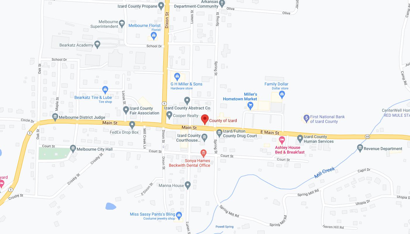
Map of Cities in Izard County, AR