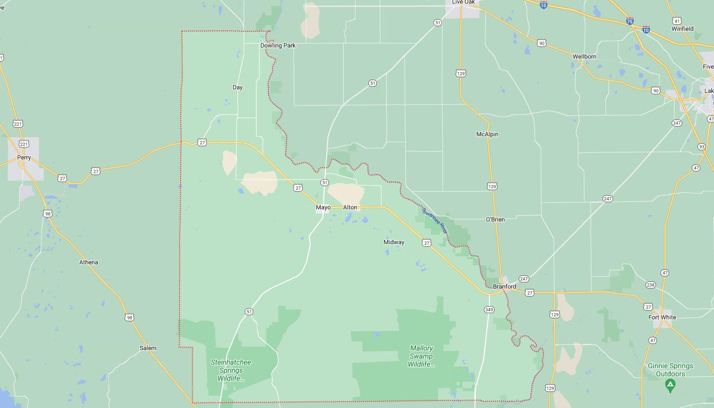
Cities and Towns in Lafayette County, Florida
Founded in 1856, Lafayette County is one of 67 counties in the state of Florida. Historically, Lafayette County was formed from Madison. The city of Mayo is the county seat. With FIPS code of 67, Lafayette County has a population of 8,382 and area of 543 square miles (1,406 km²).
List of all cities in Lafayette County, FL alphabetically
- Day, FL
- Mayo, FL
Major Cities and Towns in Lafayette County, Florida
Mayo
Area, Population, and Geographic Coordinates
- Area: 2.1 square miles
- Population: Approximately 1,237 (as of 2020)
- Zip Codes: 32066
- Latitude: 30.0530° N
- Longitude: 83.1746° W
Location and History
Mayo is the county seat and only incorporated town in Lafayette County, located in the northern part of Florida. The town was established in the late 19th century and named after Colonel James Mayo, a Confederate officer and early settler in the region. Mayo developed as an agricultural community, with farming, particularly tobacco, and timber being the primary economic activities. The town’s location near the Suwannee River made it an important center for the transportation of goods, contributing to its growth. Over the years, Mayo has maintained its small-town charm, with a strong focus on community and preserving its rural heritage.
Major Schools and Landmarks
Mayo is served by the Lafayette County School District, with Lafayette High School and Lafayette Elementary School being the primary educational institutions. Major landmarks in Mayo include the historic Lafayette County Courthouse, which has been a central part of the community since its construction in 1908, and the Hal W. Adams Bridge, a historic suspension bridge over the Suwannee River. The town’s proximity to the Suwannee River provides opportunities for outdoor activities such as fishing, boating, and exploring the natural beauty of the area. The annual Mayo Pioneer Day Festival celebrates the town’s history and culture with parades, live music, and community activities, reflecting the town’s strong sense of tradition and community pride. Mayo’s combination of historical significance, educational institutions, and rural charm makes it an important town in Lafayette County.
Day
Area, Population, and Geographic Coordinates
- Area: 1.5 square miles (approximate, unincorporated community)
- Population: Approximately 100 (estimate)
- Zip Codes: 32013
- Latitude: 30.1935° N
- Longitude: 83.2143° W
Location and History
Day is a small, unincorporated community located in the northeastern part of Lafayette County. The community was established in the late 19th century and named after the Day family, who were prominent landowners in the area. Day developed as a rural agricultural community, with farming and timber being the primary economic activities. The community’s location near several natural springs and the Suwannee River has been a significant factor in its history, providing water for irrigation and serving as a transportation route for agricultural products. Today, Day remains a small, close-knit community with a focus on preserving its rural heritage and natural surroundings.
Major Schools and Landmarks
Day is served by the Lafayette County School District, with students typically attending schools in nearby Mayo. Major landmarks in Day include the Day Community Center, which hosts various events and activities for residents, and the nearby Suwannee River, which offers opportunities for fishing, boating, and exploring the natural beauty of the area. The community’s annual events, such as the Day Christmas Parade, reflect its strong sense of tradition and community pride. The surrounding natural areas, including several springs and the Suwannee River, provide a scenic backdrop for outdoor recreation. Day’s combination of historical significance, educational institutions, and rural charm makes it an important community in Lafayette County.
Hatchbend
Area, Population, and Geographic Coordinates
- Area: 1.2 square miles (approximate, unincorporated community)
- Population: Approximately 150 (estimate)
- Zip Codes: 32066 (Mayo area)
- Latitude: 29.9450° N
- Longitude: 83.1797° W
Location and History
Hatchbend is a small, unincorporated community located in the southwestern part of Lafayette County, near the Suwannee River. The community was established in the early 20th century and developed as a rural farming and timber area. Hatchbend’s location near the river made it an ideal spot for agriculture, particularly for growing crops and raising livestock. The community’s name is believed to be derived from the bend in the river that creates a natural boundary for the area. Over the years, Hatchbend has remained a small, rural community with a strong connection to its agricultural roots and the natural environment.
Major Schools and Landmarks
Hatchbend is served by the Lafayette County School District, with students typically attending schools in nearby Mayo. Major landmarks in Hatchbend include the Hatchbend Apostolic Church, which has been a central part of the community for many years, and the Suwannee River, which offers opportunities for fishing, boating, and exploring the natural beauty of the area. The nearby Troy Springs State Park provides access to one of Florida’s most pristine natural springs, offering a glimpse into the area’s natural history and opportunities for swimming, snorkeling, and diving. Hatchbend’s combination of historical significance, educational institutions, and rural charm makes it an important community in Lafayette County.
Map of Cities in Lafayette County, FL